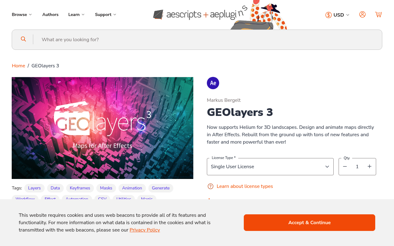
What It Does
GEOlayers 3 transforms geographic data into animated map compositions directly in After Effects. Feed it GPS coordinates, routes, or location data, and it generates map layers with markers, paths, and geographic visualizations. The plugin handles the technical work of importing location data and matching it to map imagery, letting you focus on animation and design.
The tool connects to map services to pull in base map imagery, then plots your data on top. You can animate routes as they’re drawn, add custom markers for points of interest, or create heat maps from location clusters. It’s built for projects that need to show geographic movement or spatial relationships, like travel documentaries, news graphics, or corporate presentations.
Key Features
GEOlayers 3 imports data from GPX files, CSV spreadsheets, and manual coordinate entry. It supports multiple map styles including satellite imagery, street maps, and terrain views. The plugin includes tools for route animation with customizable speed and easing, plus marker systems that can be scaled, colored, and animated individually.
The layer structure it creates is organized and editable. Map tiles are automatically assembled and cached for faster previews. You can adjust zoom levels, change map providers, and reposition your entire composition geographically without starting over. The plugin also includes presets for common tasks like flight paths, road trips, and location reveals.
Batch processing handles multiple locations at once. If you have a spreadsheet with dozens of addresses or coordinates, GEOlayers 3 plots them all in one pass. The map styling system lets you apply custom colors and effects to match your project’s look without manually adjusting every element.
Who It’s For
Motion designers creating explainer videos, documentaries, or corporate work will find this useful when projects require geographic context. News graphics teams use it for election coverage, weather events, and investigative stories that involve multiple locations. Travel content creators can visualize journeys with animated route reveals.
The plugin assumes you’re comfortable working with After Effects compositions and understand basic data formats like CSV files. If you regularly receive spreadsheets of addresses or GPS logs that need to become animated maps, this tool saves significant time compared to manual plotting.
Pricing
GEOlayers 3 costs $329.99 as a one-time purchase. This includes all features and updates within the version 3 release cycle. The price reflects its specialized function and the technical infrastructure required to handle map data and imagery. A free trial is available to test compatibility with your workflow and data sources before purchasing.